Edit Geometric Routes
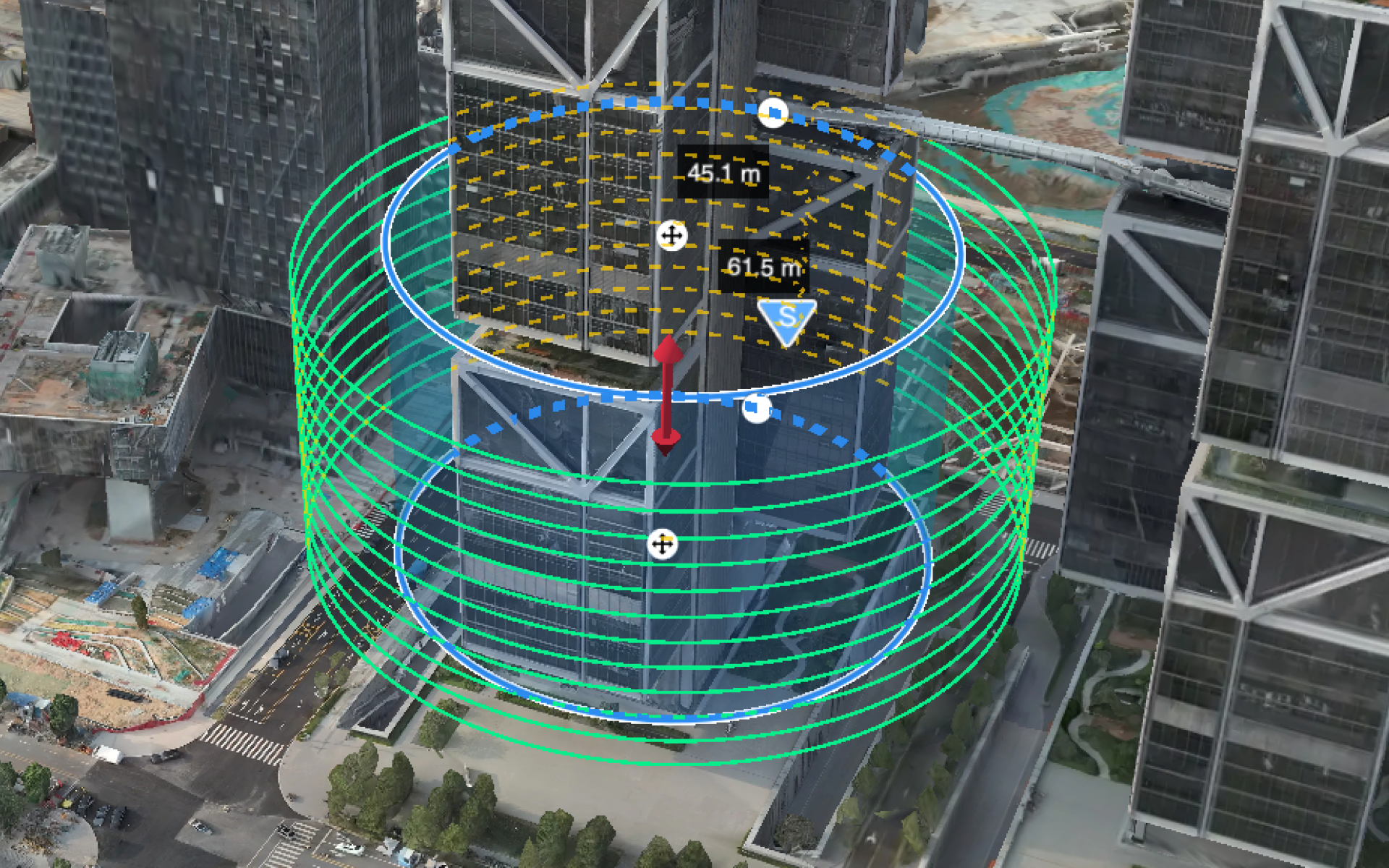
The Geometric Route Editor supports creating a mapping task for prism- or cylinder-shaped structures. Users can create a geometric route, distribute the task to DJI Pilot 2, and complete the mapping task in the model library. Before creating a geometric route, users can perform an area route task and generate a rough model of the area for the geometric planning.
Before Use
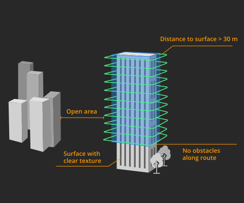
- It is recommended to set the distance between the geometric route and geometric surface to be greater than 30 meters. Otherwise, satellite signal may be affected.
- The mapping surface should be non-reflective and have rich texture. Avoid mapping glass walls.
- Make sure there is enough space when aircraft is performing tasks. Avoid starting tasks in narrow space between buildings or areas with many trees.
- Make sure RTK is working properly when checking flight details and during tasks.
Flight Route Planning
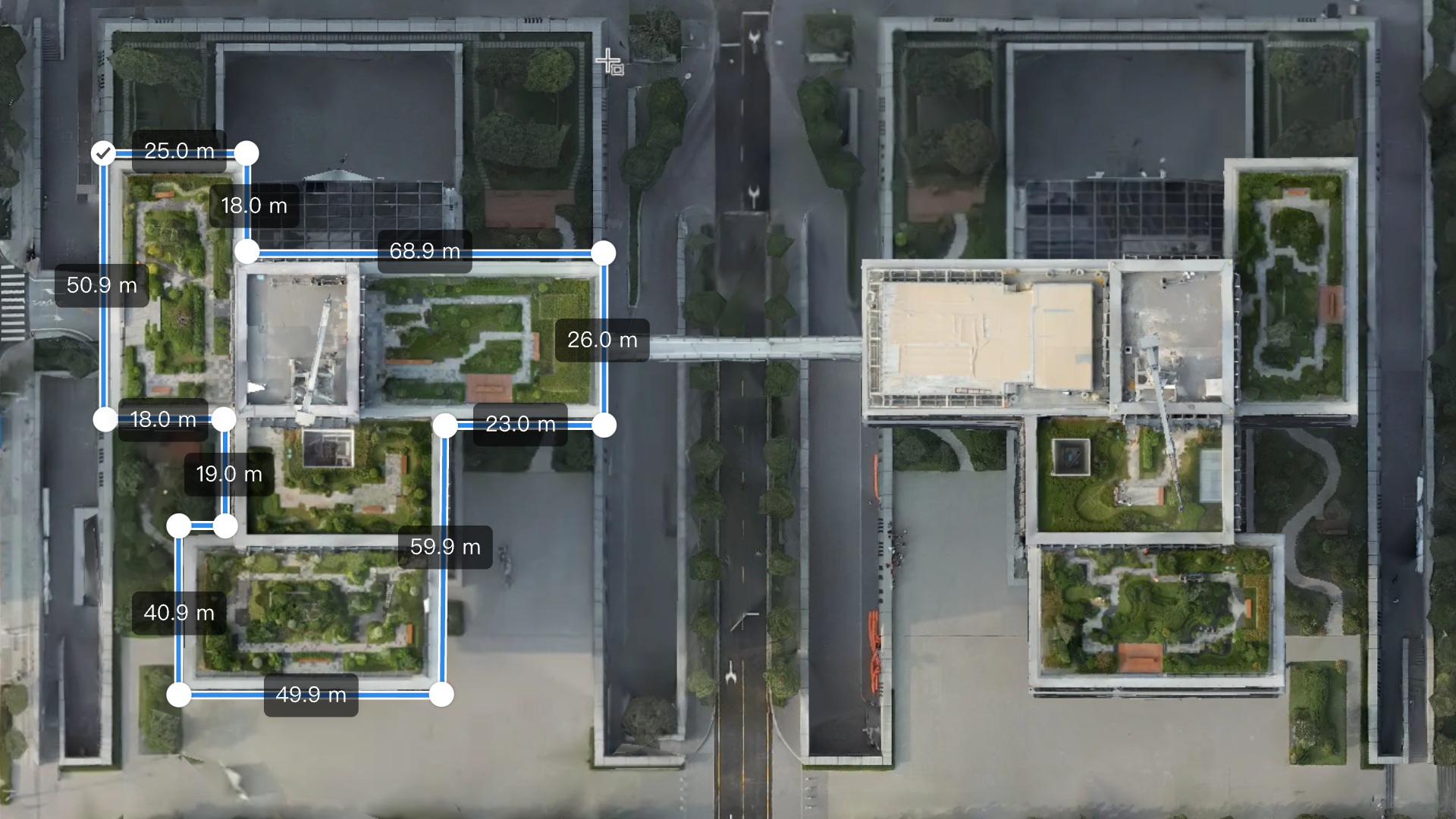
- Click on the map to create the bottom or top base of the area being mapped, and click
 to switch between mapping for prisms and cylinders.
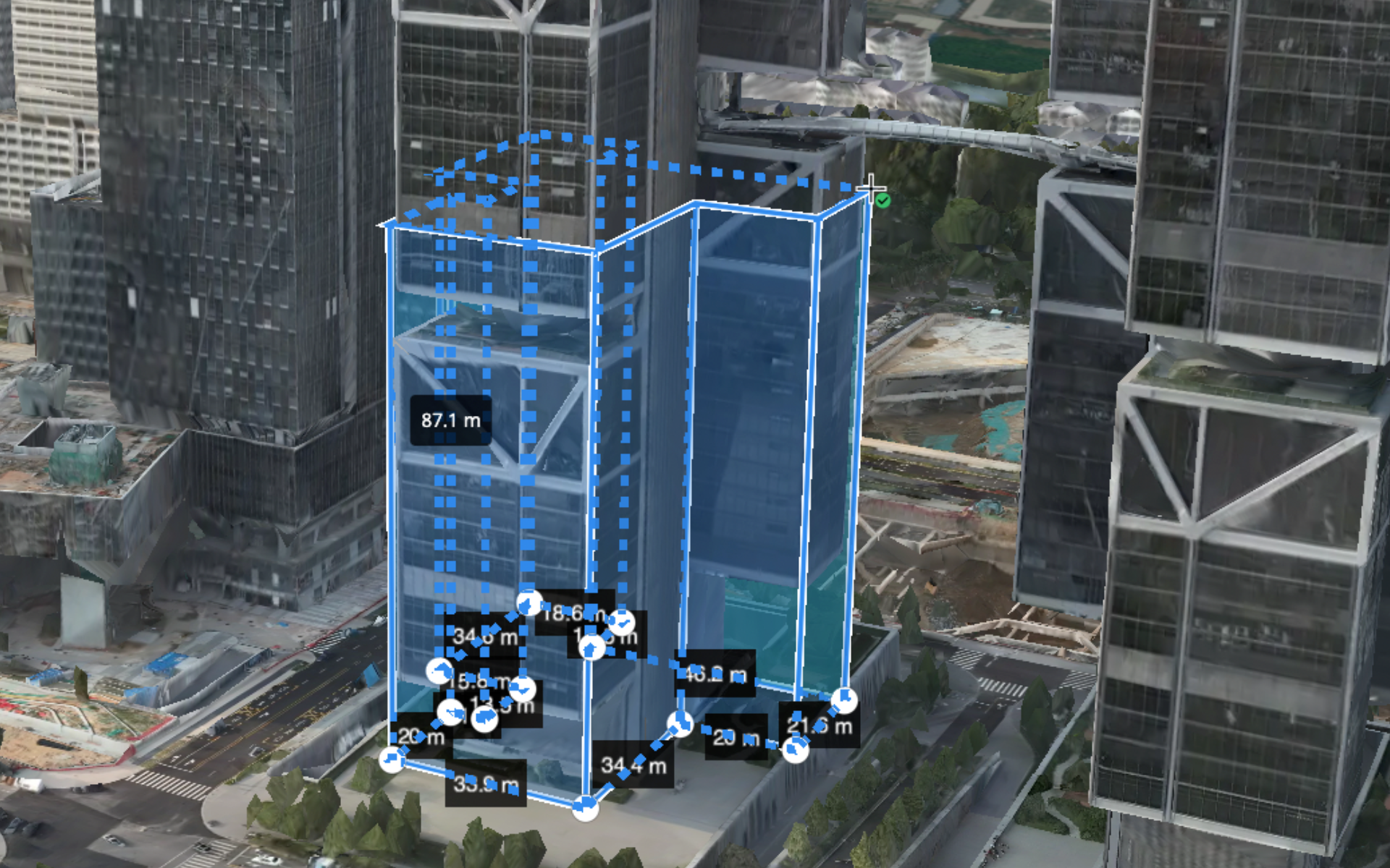
- Change to the 3D map, move the cursor to set the height, and click again to confirm.
- Edit mapping area:
- Click on the mapping area to edit.
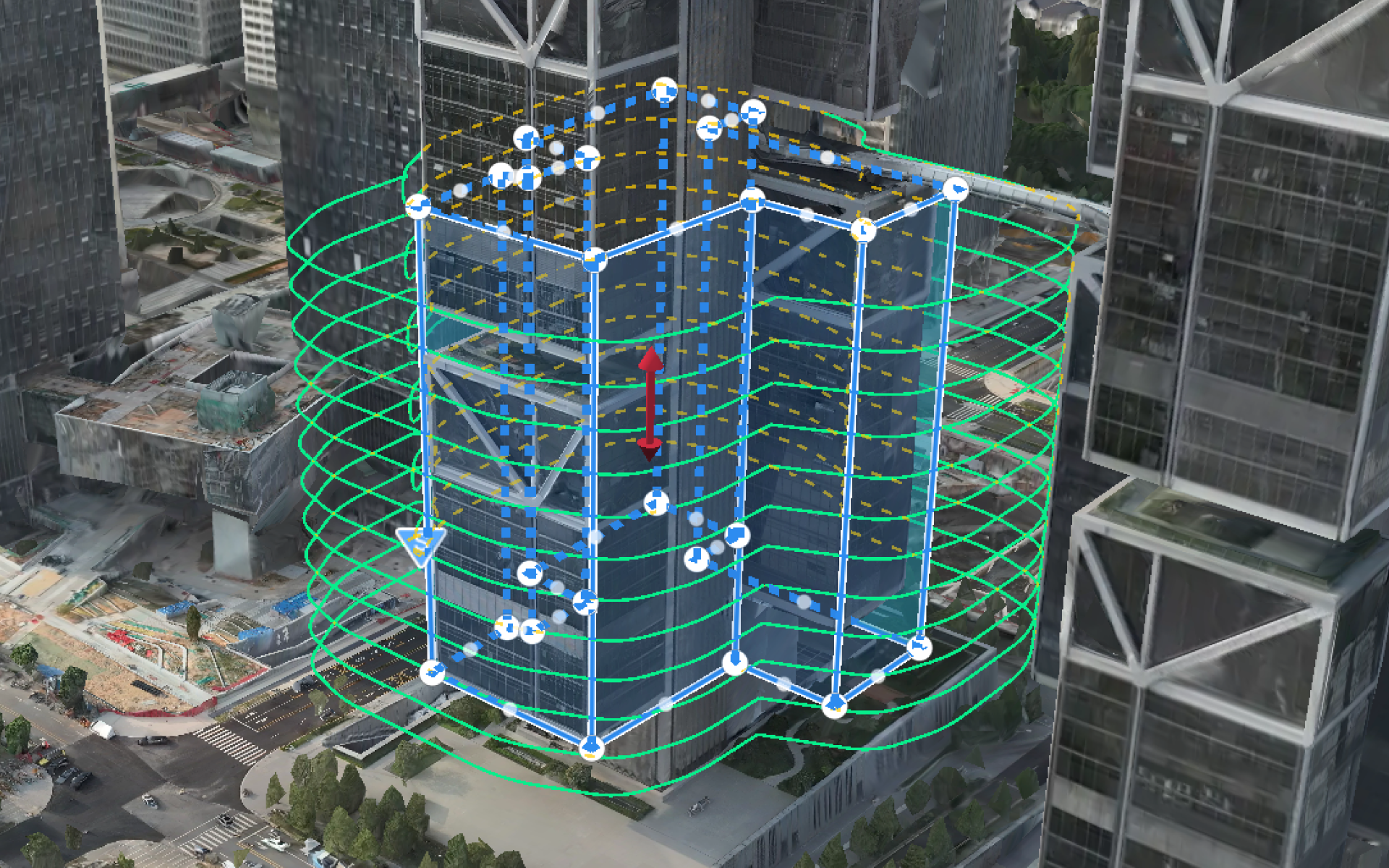
- Drag the edge or vertex or add a vertex between vertexes to adjust the mapping area. Users can also drag the Z axis
 to move the mapping area vertically.
Users can also perform the following operations on the cylindrical mapping area:
- Drag the edge of the top or bottom base to adjust the height.
- Drag the center of the top or bottom base to move the cylinder horizontally.
- Drag the vertex of the top or bottom base to adjust the radius.
- Drag the Z axis to move the cylinder vertically.